Martin - Just a point of clarification for the
Canberra birdwatching community, Stanley, as I’m sure you know, did not cross
the Congo River – or do so as a particularly notable achievement.
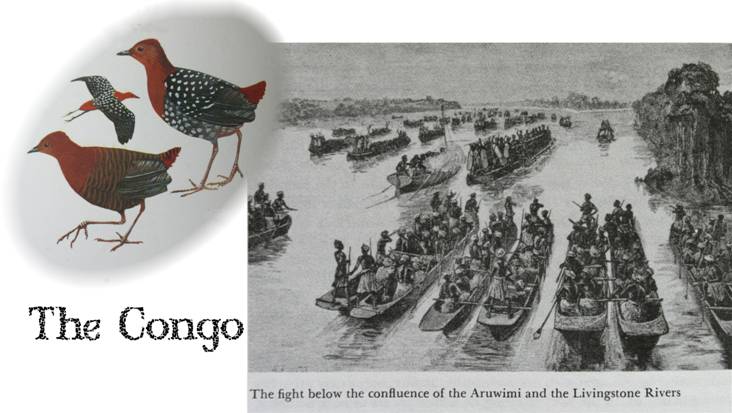
He did cross the Congo region from east to west, a hazardous feat accomplished
with great hardship (the quality to which I think you allude) and loss of life,
particularly on the part of the local population. The bird in the picture
is the White-spotted Flufftail, a bird of the Congo Basin and perhaps a
suitable choice for your coming BoM talk in response to Jack’s
invitation.

From: martin butterfield
[
Sent: Thursday, 19 February 2009 10:07 AM
To: Oren, Yarden
Cc: Canberra Birds
Subject: Re: [canberrabirds] community mapping for birds
[SEC=UNCLASSIFIED]
Yarden
It does look interesting but it took a bit of ferretting to find the actual
CWMP site rather than just the press release about the Connecting Country
project. This http://cwmp.spatialvision.com.au/#
seems to be way in to the actual tool, which I haven't yet explored (and with
my level of expertise at GIS development could be rather like Stanley crossing
the Congo).
Martin
On Thu, Feb 19, 2009 at 9:35 AM, Oren, Yarden <>
wrote:
The
canberrabirds community often tries to put together a spatial picture of
incidence/abundance of specific species, typically in a verbal way. we've seen
it with Gang Gangs, Koels, superbs...
this
mapping portal by Spatial Vision may be useful for such exercises. maybe some
of the more spatially savvier of us wish to explore.
------
If you have received this transmission in error please notify us immediately by
return e-mail and delete all copies. If this e-mail or any attachments have
been sent to you in error, that error does not constitute waiver of any
confidentiality, privilege or copyright in respect of information in the e-mail
or attachments.
Please consider the environment before printing this email.
------

