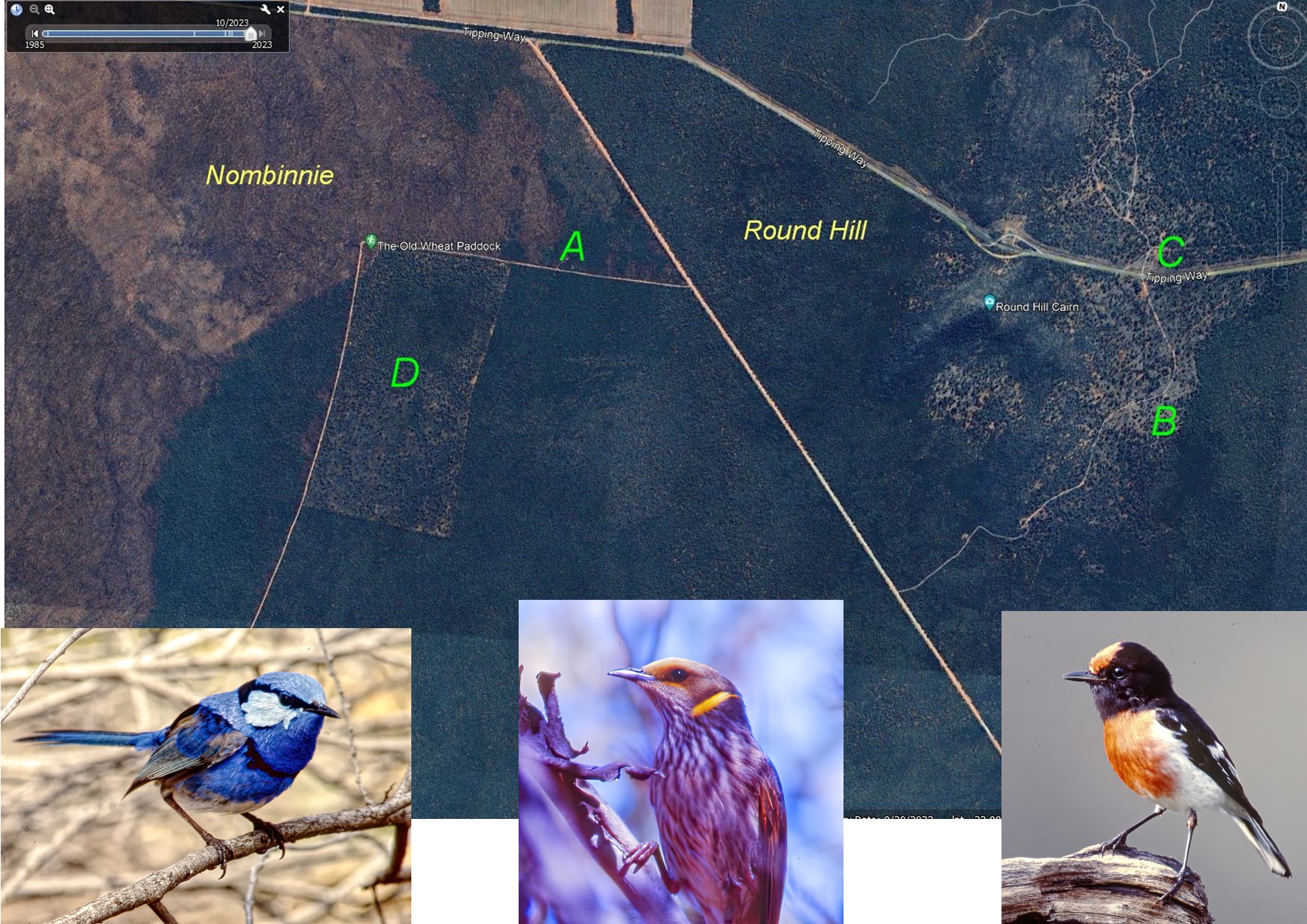
The below is based on Google Earth imagery October 2023. The Old Wheat Paddock at D was valuable as a site with heathy regrowth, and occasional scrub-robins if you were lucky. Historical Google imagery from 1985 shows
what looks like an actual wheatfield with some kind of equipment base at A, which later became the Thomas & Thomas ‘bush camping area’. The track around the paddock is labelled ‘Cactus Fire Trail’. Curiously the green hiking symbol at the corner, on opening,
indicates a hiking trail ‘open for use’. On the Round Hill side you can see the ‘Round Hill Fire Trail’. Along this at B is the site of more than one COG camp outing. I remember one where a popular waterhole bird spot was at C, outside the reserve, with
MMC, Ringnecks, Mulga Parrots, Cockatiel, Spotted Bowerbirds. A touch of nostalgia is added by 3 bird snaps taken in the area in September 1998, with a manually focussing film camera and scanned from the slides. Not so many bird photographers then.


